 Trips
Trips 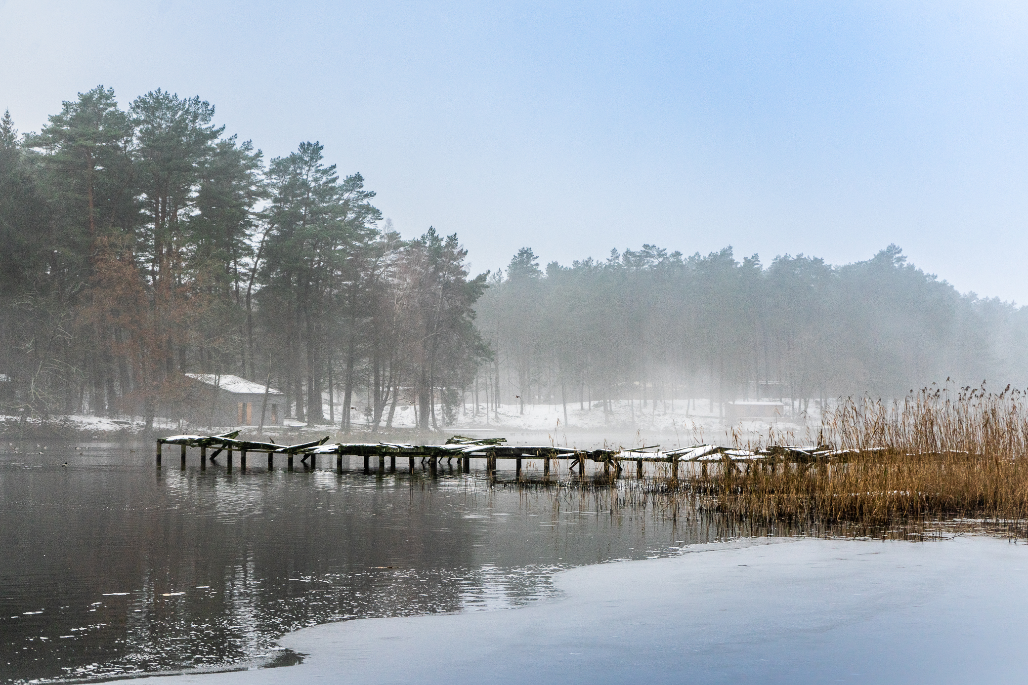
Route: Koszalin - Niekłonice - Jarzyce - Świeszyno - Rosnowo - Tyczewo – Tychowo
Trail markings: black
The best starting point for the Tychowo Trail, which will take you through the scenic forests growing in the Forest District of Tychowo, is Lechicka street in Koszalin, right next to the railway crossing. From there, follow the black markings and head towards Jarzyce where you can visit the Gothic parish church from the turn of the 15 th and 16 th century. It’s located on a small hill so you cannot miss it. In Jarzyce turn left and head towards Świeszyno which also has an interesting church to see, although this one does not have such long history, as it was built in 1886. In Świeszyno turn right towards Cewlino and after around 3 km you will reach a dense forest.
Pay attention to the markings, as the route doesn’t always follow the main forest trail.
The forest path will take you all the way to Rosnowo. The final stretch overlaps with the red trail. In Rosnowo, cross the Radew river and go to Lake Rosnowskie. From there, take the asphalt road towards Pobądz and Tyczewo. Once you leave Tyczewo, you can take a small detour to visit the Bead Ponds (Stawy Paciorkowe) on the Leszczynka river. The eleven ponds, created before World War II, provide a very pleasant and picturesque place for a short rest.
Tyczewo is the penultimate stop on this trip. After a few more kilometres, you will reach the destination – Tychowo. The trail ends by the Fire Brigade headquarters. You can go a couple of hundred metres further towards the centre of the town to see the 15 th -century church of Our Lady of Help.